
Sacramento County ZIP Areas at a Glance
The ZIP coverage table groups the Sacramento County delivery geography described in the research. Grouping related ZIPs keeps the focus on what each area means for a search. A specific address still needs a live USPS check because USPS does not publish neighborhood narratives and ZIP boundaries can change.
| ZIP | Areas Covered | Post Office or ZIP Type | Notes |
|---|---|---|---|
| 95811, 95814-20, 95822-24, 95831-35, 95837-38 | Downtown, Capitol, Midtown, East Sacramento, Oak Park, Land Park, South and North Sacramento | Sacramento delivery | Central-city neighborhoods and city-edge parcels |
| 95821, 95825-30, 95841-43, 95864 | Arden-Arcade, Cal Expo, Rosemont, Florin, Vineyard, Foothill Farms, Antelope, Sierra Oaks | Sacramento postal city or nearby delivery | Several areas are substantially unincorporated |
| 95608, 95610, 95621 | Carmichael and Citrus Heights | Delivery ZIPs | City limits and unincorporated pockets cross postal areas |
| 95624, 95757, 95758 | Elk Grove and Laguna | Elk Grove delivery | City and nearby unincorporated growth areas |
| 95630, 95763 | Folsom and newer eastern delivery area | Folsom delivery | Verify the current address boundary |
| 95632 | Galt and the southern county edge | Galt delivery | City and rural context can meet |
| 95638-39, 95683, 95690, 95693 | Herald, Sloughhouse, Walnut Grove, and Wilton | Rural or Delta delivery | Low-density areas need exact address checks |
| 95641, 95680 | Isleton, Ryde, and Delta islands | Delta delivery or PO box | River geography affects community context |
| 95652, 95655, 95660, 95662, 95670, 95671, 95673, 95742 | McClellan, Mather, North Highlands, Orangevale, Rancho Cordova, Represa, Rio Linda, eastern growth areas | Unique, institutional, or delivery ZIPs | Several postal names do not equal one city jurisdiction |
| 94203-09, 94211, 94229-30, 94232, 94234-37, 94239-40, 94244-45, 94247-50, 94252, 94254, 94256-59, 94261-63, 94267-69, 94271, 94273-74, 94277-80, 94282-85, 94287-91, 94293-99 | State-government and Sacramento-area agency mail | Unique, PO-box, or state-agency series | Do not treat these as residential neighborhoods |
The residential and agency rows belong to different search questions. A 942xx result should be checked as an institution or PO-box series, while a home address should be tested against the USPS city and state lookup.
Sacramento County ZIP Codes Are Routes, Not City Limits
The biggest Sacramento ZIP surprise is the distance between postal and legal geography. ZIP codes 95821, 95825, and 95864 are tied to largely unincorporated Arden-Arcade and nearby areas. ZIP 95826 includes Rosemont, and 95827 reaches Rancho Cordova and an industrial edge. A Sacramento postal line can therefore point to county building permits, a city permit portal, or a neighboring city's records depending on the parcel.
Countywide research also crosses seven incorporated cities: Sacramento, Citrus Heights, Elk Grove, Folsom, Galt, Isleton, and Rancho Cordova. Unincorporated territory fills the gaps. Establish the legal jurisdiction before using a ZIP to choose a permit, code, cemetery, neighborhood, or public-record custodian.
Geography check. A ZIP narrows delivery geography. It does not prove city membership, parcel adjacency, ownership, or residence.
Sacramento's 942xx Government ZIP Family
The 942xx range is an easy way to misread a ZIP code directory. The research identifies a broad family of Sacramento state-government and agency mail codes, along with unique or PO-box series. Those codes should not be used as if they described a residential neighborhood. Verify the exact organization and active status through USPS before treating the address as a person or household lead.
Other special cases include 95652 for McClellan, 95655 for Mather, 95671 for Represa, and 95763 as a newer Folsom delivery ZIP. Institutional or base history can matter for archives and former residents, but the ZIP itself does not establish who lived at the site. A name or parcel record must come from a separate custodian.
Verify a Sacramento ZIP With USPS and GIS
The USPS city and state ZIP lookup is the address-verification screen. Enter the street, city, and state, then compare the returned ZIP with the address used in the county parcel map. USPS answers the delivery question. County GIS answers the parcel and jurisdiction question. Neither one is a resident directory.
- Copy the complete address, including unit or rural detail, without changing the postal city.
- Check the address in USPS and save the returned ZIP and city label.
- Search the Sacramento parcel viewer by address or APN and compare the situs location.
- Confirm whether the parcel is in a city or unincorporated county jurisdiction.
- Use the ZIP only to narrow the next source, then preserve the APN or record number.
Use the USPS city and state ZIP lookup for the delivery-point check before treating a postal label as a Sacramento neighborhood clue.
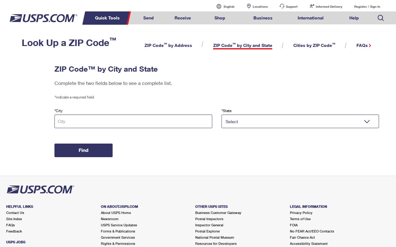
The USPS capture represents the delivery check that should come before a ZIP-based resident search. A postal label can look familiar while crossing a city boundary.
Finding Residents by Sacramento ZIP Code
A ZIP code directory cannot create a countywide name list because the Assessor does not document a ZIP-wide filter in its official instructions and My Voter Status is self-authenticated. Use the ZIP as a first cut, then narrow to an address, APN, organization, or approved record request. The strongest path is ZIP to street to parcel, with the full address preserved at each step.
For an ownership question, use the parcel viewer for map context and the Assessor lobby or NextRequest for public owner fields. For a historical question, move to a directory edition or map. For a court or vital question, the ZIP is only a disambiguator beside name and date. Street-level work belongs in the Sacramento County street directory lookup, where parcel and address records are handled in full.
When the web map does not answer the ZIP question, use the fallback chain in order. Verify delivery with USPS, inspect each parcel in GIS, and request an identifiable electronic field from the county rather than asking for a new list. A voter-file request needs an approved purpose and written application. A library or archive can help with older postal names, maps, and directories. A ZIP is useful because it narrows the next search, not because it replaces the next custodian.
APN, Situs, Mailing, and Legal Description
ZIP research is clearer when the address terms stay separate. The same record can carry a delivery label, a physical location, a tax mailing destination, and a deed description. A ZIP is not the stable key for a title trail. The APN and legal description do that work, while the situs and mailing fields explain where the parcel and correspondence point.
- ZIP code
- A USPS delivery code assigned to an address, not a municipal boundary or deed key.
- ZIP+4
- An expanded delivery code used by USPS to refine an address beyond the five-digit ZIP.
- PO-box or unique ZIP
- A code serving a box, agency, institution, or special delivery use rather than a normal residential area.
- Carrier route
- A USPS delivery grouping; it should not be read as a neighborhood, city, or ownership unit.
- APN
- The Assessor parcel number used to connect map, roll, and property references.
Maps Add Sacramento ZIP History
The ZIP code directory works with historical maps when a place name or street pattern changed. The Library of Congress Sacramento map search includes Sanborn coverage for the city and several county communities, including Galt, Folsom, Elk Grove, Isleton, Courtland, and Walnut Grove. The 1895 atlas and later 1915 to 1952 references show building footprints, use, and structural changes.
Sanborn sheets do not name occupants. Read the Library of Congress Sacramento map search alongside the directory or parcel record. They help explain why an old directory entry, modern ZIP label, and parcel shape may not line up. River barriers, levees, Delta islands, and postwar subdivisions can make numerical proximity a poor guide to neighborhood identity.
The map-search capture is a historical geography aid. Pair a map sheet with an address book or deed, rather than treating its building labels as names.
ZIP Communities and Public Boundaries
Neighborhood names can add context after a ZIP has been checked. The City of Sacramento neighborhood directory publishes organization names, boundaries, criteria, and public contacts. To be listed, a group must identify officers, meet at least quarterly, and define its boundaries. The directory does not imply a public member roll.
Examples include Heritage Park Owners Association, North Natomas Community Association or Coalition, Gardenland Northgate Neighborhood Association, Natomas Community Association, Oak Park Neighborhood Association, Tahoe Park Association, South Land Park Neighborhood Association, Valley Hi Neighborhood Association, and Woodbine Neighborhood Association. Those names help orient a ZIP or parcel. They do not replace a custodian record.
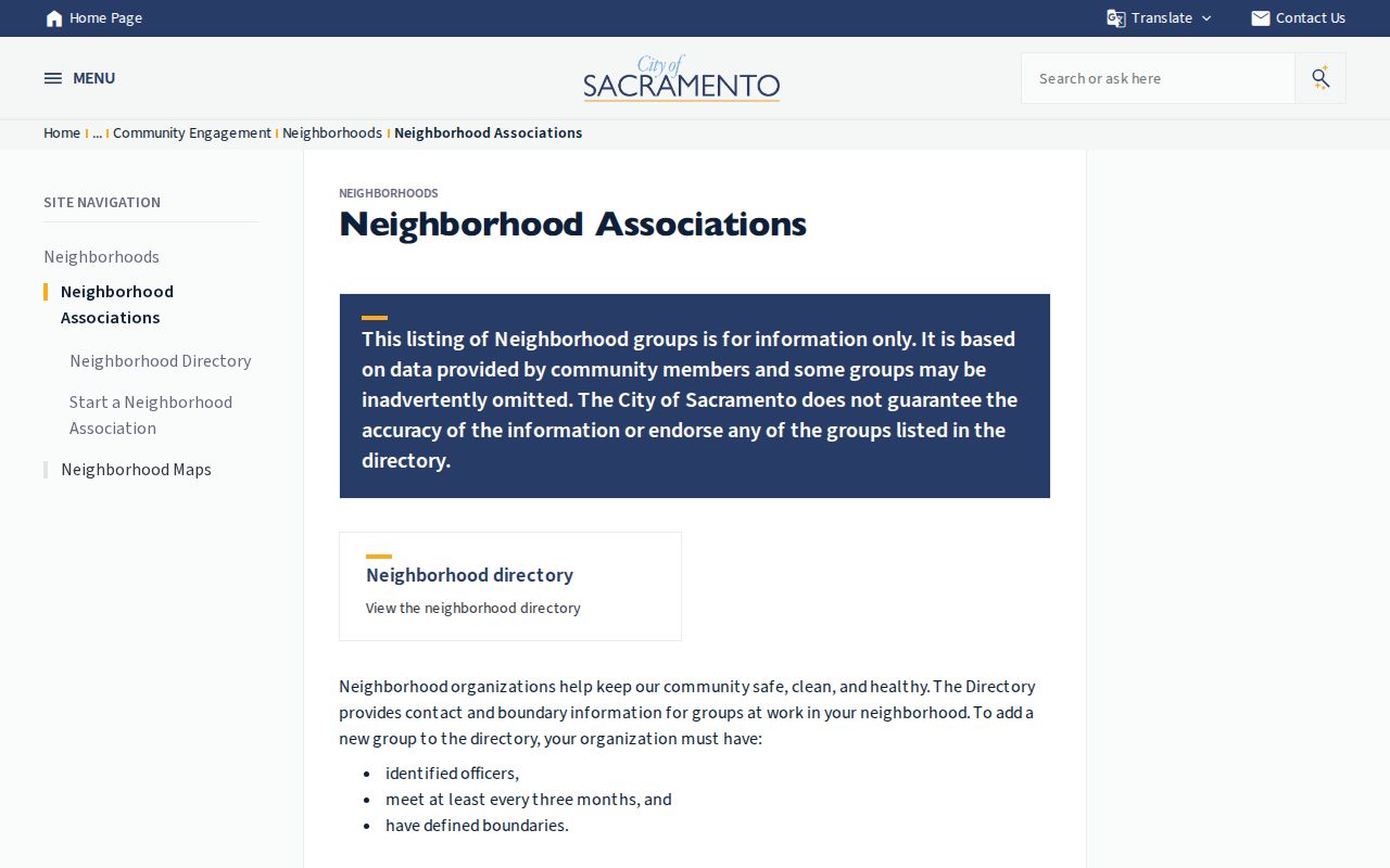
The neighborhood-directory capture shows the public boundary layer that can sit beside ZIP verification. Organization contact is different from a household list.
Limits of a Sacramento ZIP Code Directory
The Assessor does not document a ZIP-wide export in the instructions reviewed. Census ZIP Code Tabulation Areas are statistical approximations, not USPS routes. My Voter Status authenticates the voter and cannot enumerate neighbors. A public-record request can seek an identifiable existing dataset, but it cannot require an office to invent a ZIP resident directory.
Use ZIPs to sort a research plan, not to label people. Confirm the address, jurisdiction, source date, and record role. When a source returns a protected or confidential result, stop at the lawful boundary. A clean ZIP trail ends with a custodian identifier, not a guess based on postal geography.
That rule matters in Sacramento County because the same postal city reaches incorporated and unincorporated places, rural routes, Delta islands, and special government codes. A current postal directory should therefore be read with the USPS result, parcel map, and jurisdiction in view. If any of those disagree, preserve the conflict and ask the relevant office to resolve it.