
Looking Up Sacramento County Neighbors
A block lookup has several layers. GIS identifies parcels that touch or sit near the starting address. The Assessor roll can identify owners and mailing fields through approved access. The voter file may provide address geography only for an approved purpose. Neighborhood organizations add public boundary and contact information. Historical reverse directories can show listed subscribers in a dated edition.
| Source | What It Shows About a Block | Access |
|---|---|---|
| Assessor Parcel Viewer | Lot geometry, APNs, situs context, and map attributes | Free web browse; owner names omitted |
| Assessor public roll | Owner, mailing address, situs, value, and exemptions | Lobby or public-record request |
| Approved voter file | Registration and address geography for an allowed purpose | Written application, identity, fee, and security terms |
| Neighborhood directory | Association boundary and public organization contact | City directory; not member list |
| Reverse directory | Historical listed occupant or subscriber by address | Sacramento Room edition and year |
Each row answers a different question. A block is a map relationship, not a public list of every person who lives inside it.
Mapping Sacramento County Neighbors by Parcel
Start in the Sacramento County Assessor Parcel Viewer with a known address. Zoom until parcel boundaries appear, use parcel identify, and click each adjoining polygon. Map adjacency is safer than house-number arithmetic for corner lots, alleys, cul-de-sacs, irregular subdivisions, and condominium projects. No verified public radius or bulk-export tool was documented in the reviewed instructions.
The practical process is simple but deliberate:
- Save the starting address, APN, and situs location.
- Identify every polygon that shares a boundary, then record its APN.
- Compare the mapped shape with the street, alley, river, or lot line.
- Use Assessor channels for owner and mailing fields, keeping ownership separate from occupancy.
- For a named street chain, move to the Sacramento County street directory lookup.
The map supplies the block's shape. It does not supply a verified list of people.
Sacramento County Neighbors, Corners, and Rivers
Sacramento County's geography makes a simple “nearest address” rule unreliable. The central city grid is dense, but levees, the Sacramento and American rivers, Delta islands, and later suburban street patterns can separate places that look close on a screen. A corner parcel may front two streets. An alley can make the rear boundary more important than the house-number sequence.
Postal Sacramento can also be unincorporated county territory. Arden-Arcade, Carmichael, Orangevale, Rio Linda, Florin, Vineyard, Antelope, and Gold River show why a neighbor result must carry its legal jurisdiction. A map point across water may not share a neighborhood or the same records office.
Sacramento County Neighbors and Owner Fields
The online map gives APNs, parcel geometry, values, and limited characteristics. Owner names are intentionally absent from the web view. The Assessor's public fields can include secured owner, situs and mailing addresses, exemptions, tax-rate area, zoning or land-use code, Recorder book and page, parcel map, and characteristics. Use the lobby at 3636 American River Drive, Suite 200, Sacramento, or ask through NextRequest when the field is needed.
A mailing address may point to an agent, trust, PO box, or another property. It is a contact clue, not proof that the owner lives on the block. The same caution applies to a permit applicant, contractor, deed party, business registrant, or historical subscriber. The Assessor public-record field inventory is the right place to separate those roles.
Sacramento Neighbors and California Voter Law
Sacramento County voter-file rules do not create an open street browse. California Elections Code sections 2188, 2194, and 2157.2 limit access to approved election, scholarly, journalistic, political, or governmental purposes. A written application asks for applicant and agent identity, business and mailing details, geography, type of information, purpose, end-user statement, security agreement, and signature. Up to 10 specific voters can be listed on one application, with name variants counted within that request.
The county lists an $80 file, a $105 custom file, activity reports of $308 for four weeks or $616 for eight weeks, and a free Election Day report. Approved and paid orders are ready within 72 business hours. Submit to Campaign Services at 7000 65th Street, Suite A, Sacramento, CA 95823, or call (916) 875-6276. The voter-information application lists the required fields and security terms. Driver-license, Social Security, and signature data are not released.
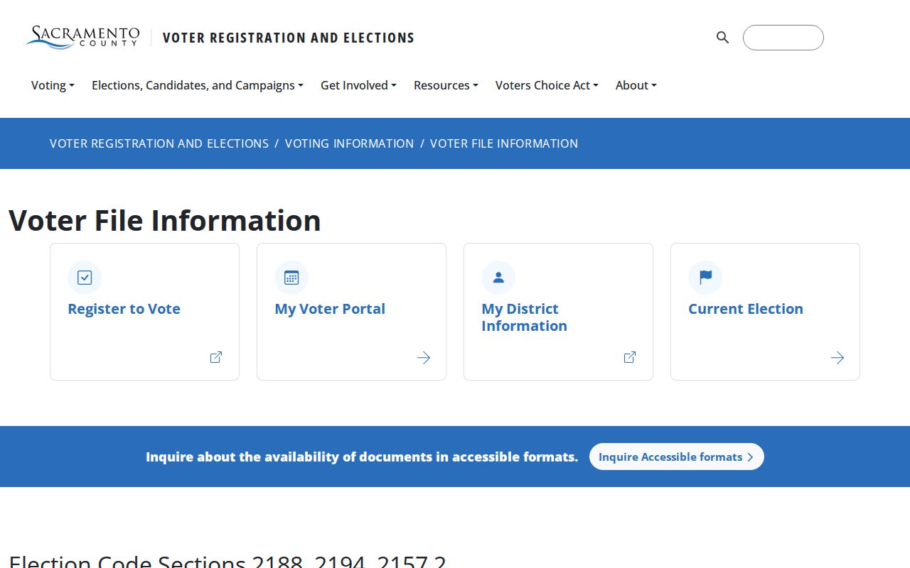
The voter-file capture shows an application and purpose channel, not a public neighbor search box. Protected Safe at Home participants use confidential registration.
Sacramento's Official Neighborhood Directory
The City of Sacramento neighborhood directory publishes organization names, boundaries, and public contacts. A group must identify officers, meet at least quarterly, and define its boundaries to be listed. Contact the Community Engagement office at ce@cityofsacramento.org, 915 I Street, 3rd Floor, Sacramento, (916) 808-6789. This is a civic geography layer, not a household roster.
| North area examples | Heritage Park Owners Association, North Natomas Community Association or Coalition, Gardenland Northgate, Natomas Community Association |
|---|---|
| Central and east examples | Oak Park Neighborhood Association, Tahoe Park Association, Sonora Springs Neighborhood Watch or HOA |
| South area examples | South Land Park, Valley Hi, Woodbine, and South Natomas organizations |
| Published layer | Organization name, public contact, and boundary criteria; membership is not implied |
The public organization directory illustrates the difference between a group boundary and a member list. Use it to understand community geography around a parcel.
Neighbors in Sacramento County: Police Maps
Police neighborhood maps group named communities into six operational districts. They help place a block within a public-safety geography and can point to the right local context. They do not identify household members, establish ownership, or replace a police report request.
Open the City of Sacramento police neighborhood maps before assigning a block to a district. Police report copies come from the agency that took the report. Sacramento Police handles incidents inside the city, while the Sheriff or contract jurisdiction handles other areas. A request should include report number, date, location, and involved-party status. Privacy, investigation, juvenile, and victim rules can limit release.
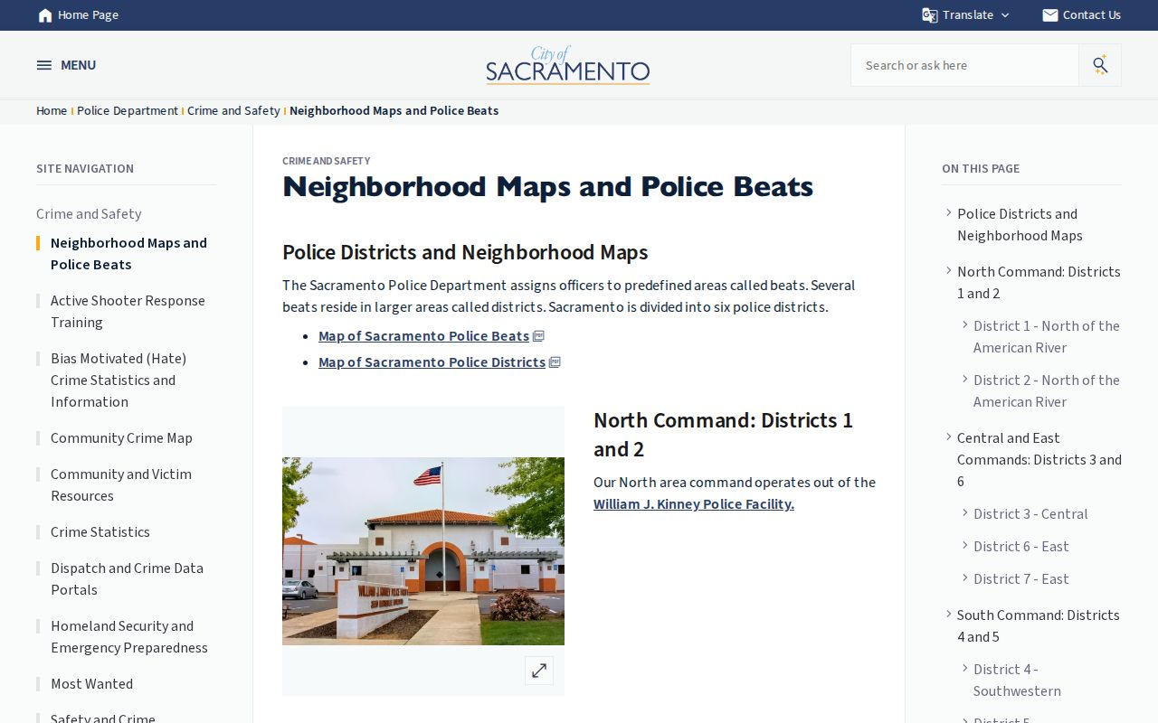
The police-map capture supports geographic orientation. It should not be read as a directory of the neighbors who live in a district.
Sacramento County Neighbors and Association Contacts
Neighborhood organizations can help explain a place, but voluntary public contact information is not a household list. An officer, boundary, meeting cadence, or organization email shows how a group represents itself. It does not establish that a specific person owns, lives in, or belongs to every parcel inside the boundary.
For a block question, compare the public boundary with the GIS parcel shape, then ask the organization only for information it actually publishes. Do not infer membership from a street, a ZIP, or a property record. Community history, block-watch activity, and local newsletters can be useful when a source clearly states its date and scope.
Neighborhood records are also selective. A group may publish officers but not meeting notes, or a boundary map but not the names of households inside it. That makes the public contact useful for orientation and civic connection, while the parcel and court custodians remain responsible for official records.
Sacramento Neighbors: Official Rolls and Compiled Tools
Commercial compiled neighbor tools can be fast, but they mix public records with collected or licensed data and may merge names, stale addresses, or unrelated parcels. Official sources are slower because they preserve a custodian and a record purpose. The comparison is about evidence quality, not convenience alone.
| Layer | Strength | Limit |
|---|---|---|
| County GIS and Assessor | Parcel geometry, APN, public ownership fields through approved access | Ownership is not occupancy; map is not a survey |
| Approved voter file | Registration geography for a lawful approved purpose | No casual street browsing; protected data excluded |
| Neighborhood directory | Public organization boundaries and contacts | No implied member roster |
| Compiled neighbor service | One place to see mixed clues | Unofficial, stale, merged, and not a custodian |
Check the California data-broker registry for the official list of registered brokers before relying on a compiled neighbor result.
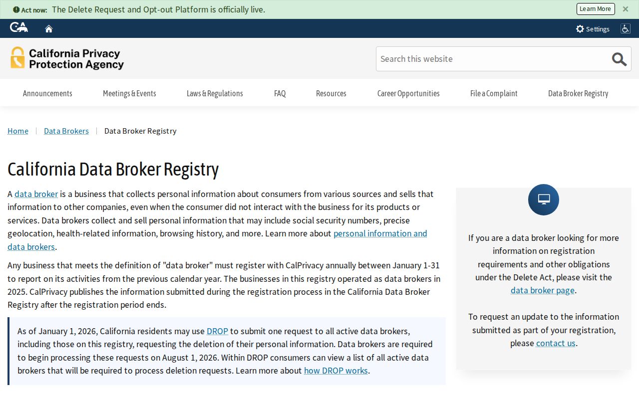
The California data-broker registry capture points to the privacy layer behind compiled results. A registry or deletion request does not remove the original county, court, or deed source.
Read the California data-broker information before filing a deletion or access request.
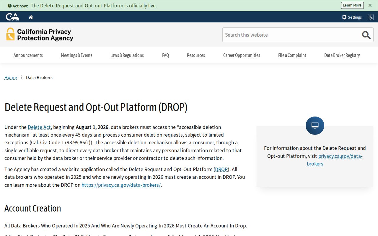
The data-broker information capture belongs beside the comparison, not in place of a parcel or custodian record.
California's CCPA and CPRA give covered consumers rights to know, delete, correct, and opt out of sale or sharing, subject to exceptions for public information and other data. The Delete Act's DROP system is intended to centralize deletion requests for registered brokers. A privacy request can reduce a compiled match while leaving the official source unchanged.
The California data-broker information page is the proper place to check current program status. The California Attorney General's CCPA explanation describes consumer rights and public-record exceptions. Keep confirmation numbers and old-address details needed to match a record, and do not treat a broker response as proof of a neighbor's identity.
Privacy Limits on a Sacramento Neighbor Lookup
California's Safe at Home program can provide a substitute address and confidential voter registration for eligible survivors and other protected people. Older public material may remain, but a current address can be intentionally absent. Voter signatures, driver-license details, Social Security numbers, and protected residence information are not ordinary neighborhood data.
Lawful use. Use a Sacramento County neighbor lookup for personal, lawful block research, local history, or civic orientation. Never use an address, parcel, voter record, or organization detail to stalk, harass, threaten, intimidate, or harm anyone.
When the question shifts from the block to a single named person, use a source with a clear date and role. When it shifts to a whole street, use the Sacramento County street directory lookup. A block map should stay a map unless a custodian supplies a different record.